Geographic Information Systems (GIS)
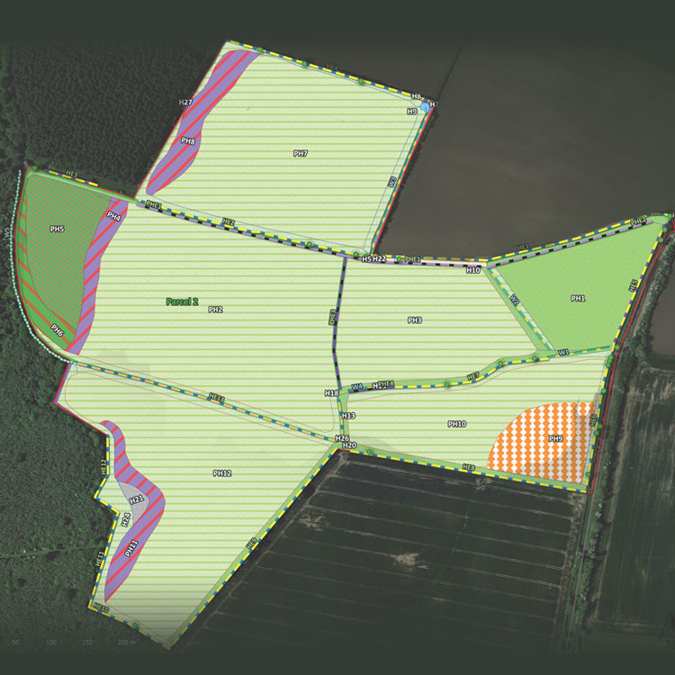
Geographic Information Systems (GIS) are a powerful tool for recording and analysing spatial data, providing valuable insights for ecological impact assessments. With the growing importance of Biodiversity Net Gain (BNG), GIS has become an essential component of ecological consultancy, enabling the accurate attribution of areas and lengths to physical habitats, while ensuring that data is stored in an organized and accessible manner.
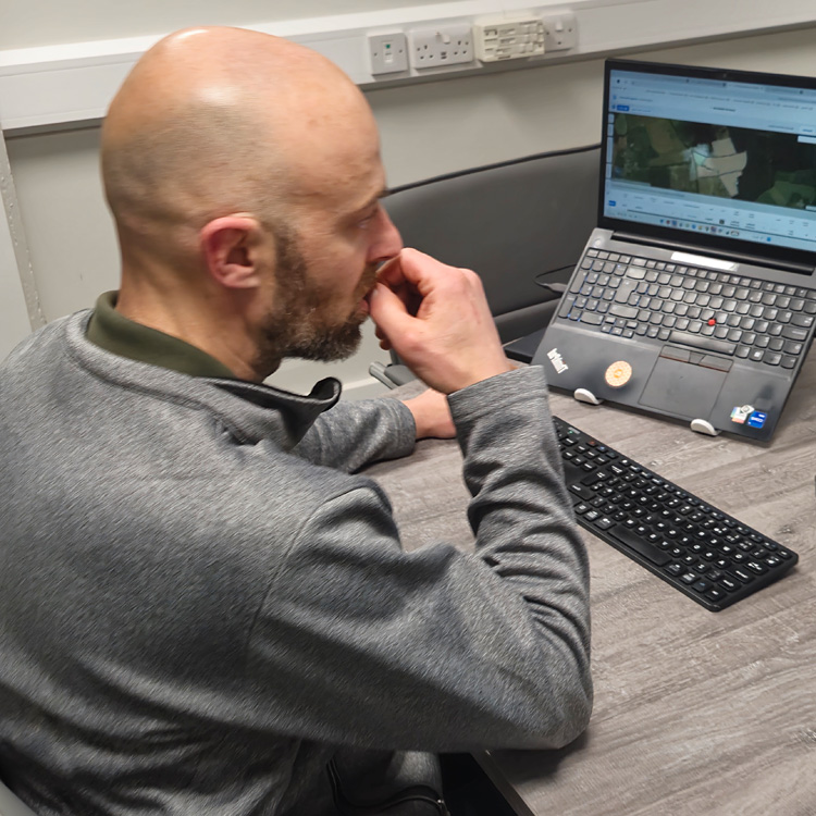
At Ecosphere Ecology, we integrate GIS into every stage of ecological surveys and assessments. We utilise a range of mobile applications, including Coreo, QField, and Cartographer.io, for efficient field data collection, alongside QGIS for data processing. This approach allows us to manage survey data effectively, ensuring it is readily available without the risk of misplacement.
For landscape-scale habitat surveys, we also process georeferenced aerial photography collected by drones, delivering cost-effective and high-precision survey outputs.
If you’re looking for an ecological consultancy that embraces GIS technology to enhance data accuracy and efficiency, you’ve found us!


Need Expert Ecological Advice?
Let’s discuss how we can support your project with our ecological expertise.